Gabriola Evacuation Route Planning
Consultation has concluded
The RDN Evacuation Route Guide Planning project has come to a close. Thank-you to all who participated in its development. For residents and stakeholders who still have questions, or would like to connect, please feel free to reach out to Emergency Planning Coordinator kfader@rdn.bc.ca, or visit rdn.bc.ca/emergency-program.
Thank-you
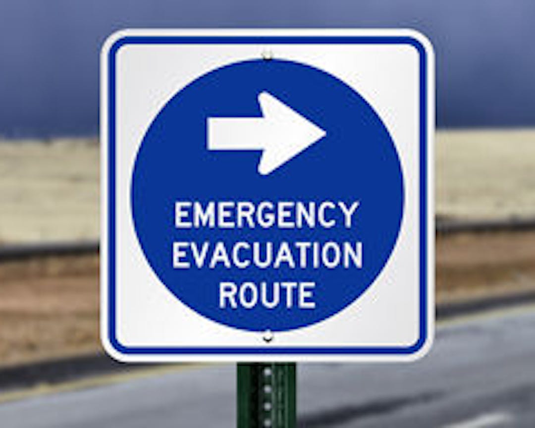
The Regional District of Nanaimo is creating a new Gabriola, Mudge and De Courcy Island Evacuation Route Plan. These islands have unique evacuation challenges, including many one-way access neighbourhoods, forested properties and limited ferry capacity. A new evacuation plan for Gabriola, Mudge and Decourcy Island will identify strategies and alternate evacuation methods to coordinate a safe and orderly multi agency evacuation response to the islands.
Our project is coming to a close, and the final report will be presented to the Board of Directors on February 3rd, at the Electoral Areas Services Committee meeting. To view the board meeting, visit: https://www.rdn.bc.ca/agendas-minutes-videos
A copy of the report is available to view through the February 3rd EASC meeting agenda, and will be made available on the RDN website once complete.
On this page, you'll find:
- Frequently Asked Questions about Evacuations and Evacuation Route Planning
- Links to Emergency Services Resources
- Updates on how to get involved in Evacuation and Emergency Preparedness
Sign up by registering for updates on how you can contribute to the Gabriola Emergency Evacuation Route Planning Project. Ask a question, send us a message, and explore the the Emergency Evacuation Route Planning Page!
Signup Banner

Who's listening
-

Email kfader@rdn.bc.ca