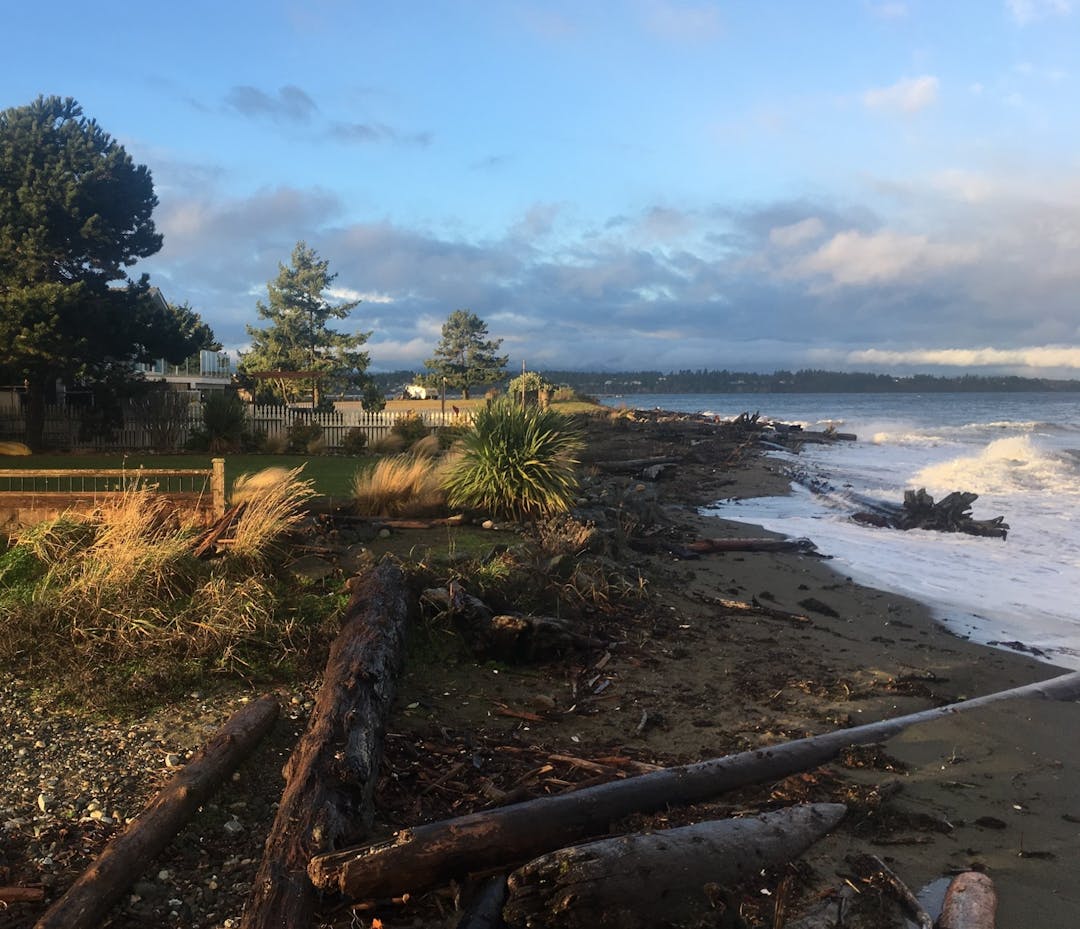
Coastal Flood Hazard Development Permit Area
The Regional District of Nanaimo (RDN) is working to improve the steps needed to mitigate risks to new development located near the coast. The newly adopted development permit area will identify earlier on in the approvals process the existing requirements for construction of a new building and/or subdivision. The official community plan amendments outline the purpose and area affected and the zoning bylaw amendment establishes the requirements. Both should be considered together and are located in the Document Library.
The Regional Board gave three readings and adoption to official community plan amendment bylaws for Areas A, E, G and H and zoning bylaw on September 10, 2024.
How Can I Get Involved & Learn More?
- Visit the Document Library to learn more about the proposed amended bylaws
- See our FAQs tab to better understand this project
- Attend an open house for the affected electoral areas (Areas A, E, G or H)
- Register to submit a comment form or ask questions
- Submit your comments on the proposed amendment bylaws by using the Bylaw Comment Form
- Ask us a question in the Q & A tab and we will respond
- Subscribe by clicking on the Stay Informed tab to be kept up-to-date with progress on the bylaw adoption process through direct email
- Connect with our Team, see our contact info under Who’s Listening
The RDN would like to thank you for your participation.
-
Area A, E, G and H Residents Invited to Provide Input on Proposed Development Permit Area Bylaws

Residents are invited to review and provide feedback on the proposed bylaws to create a coastal flood hazard development permit area by attending one of the open houses happening in February and March for electoral areas A, E, G and H prior to preceding to third reading of the bylaws. Details of the events are posting on the RDN webpage and in the Parksville - Qualicum Beach and Nanaimo newspapers.
The core information provided will be the same for each Open House, so there is no need to attend them all.
If you cannot attend an open house, submit your input here.
-
Regional Flood Study Complete

The RDN is pleased to announce the completion of the Nanaimo River flood hazard mapping project. This is the fourth successfully completed flood hazard/risk project lead by the RDN and is considered a significant milestone in understanding present day and future flood events in the region.
The project approach includes three key elements summarized as analyzing the flood hazard; representing the findings on a regulatory river floodplain map with Flood Construction Levels (FCLs) and conducting a high-level risk assessment informed by participatory engagement to incorporate key flood concerns in the study area.
The next stage is to include this information in existing land use bylaws to better inform the safe location and design of new buildings in relation to known river and coastal flood hazards. Look for the draft bylaws in July 2023. Updates will be communicated on the RDN Get Involved webpage, RDN Board agenda and via local media.
Signup Banner

Document Library
-
 June 2024 Proposed Bylaws as amended
-
 Proposed Area A OCP Amendment Bylaw No1620.10_2023_v2 (7.82 MB) (pdf)
-
Proposed Area E OCP Amendment Bylaw No. 1400.06_2023_v2 (2.81 MB) (pdf)
-
Proposed Area G OCP Amendment Bylaw No1540.06_2023_v2 (13.7 MB) (pdf)
-
Proposed Area H OCP Amendment Bylaw No. 1335.09_2023_v2 (11 MB) (pdf)
-
Proposed_Zoning Amendment Bylaw No.500.445_2023_v2 (334 KB) (pdf)
-
Staff Report for 2nd reading as amended.pdf (657 KB) (pdf)
-

