2019 Wetland Mapping Season Has Begun!

In April, Vancouver Island University students and MABRRI staff began year four of wetland mapping. There are four primary goals for the 2019-2020 year, including: 1) complete the mapping of wetlands in each of the seven water regions, including finishing up Englishman River Water Region and starting on the Gabriola Island Water Region; 2) establish six priority sites to monitor throughout the year in order to get a more holistic idea of how these wetlands function; 3) install instrumentation, including water level loggers and a rain gauge, at one priority wetland in order to determine its connection to groundwater recharge; and 4) conduct a literature review on existing policy, best practices, and ecosystem services with regards to wetlands at the federal, provincial, and local levels.
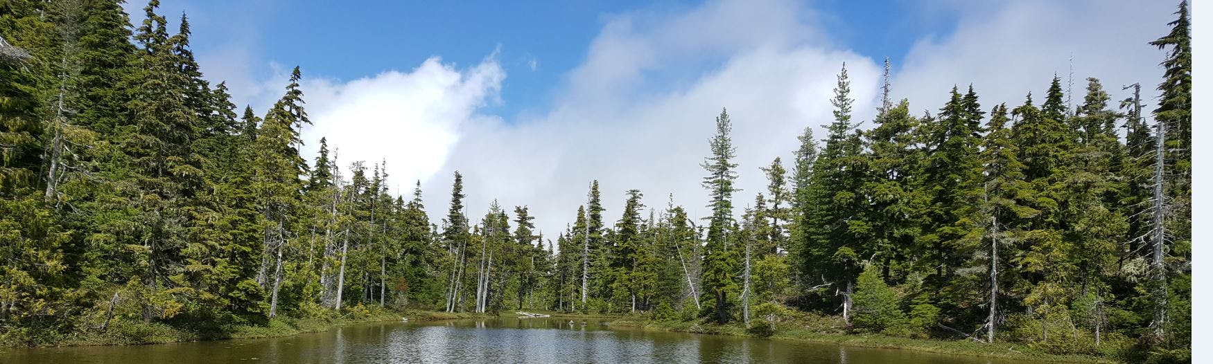
To date, only two of the wetlands in the Englishman River Water Region have been mapped, therefore the MABRRI team is keen to get out and map a few more prior to finalizing the final report. Additionally, MABRRI will be visiting and mapping wetlands on Gabriola Island this fall and finalizing a Gabriola Island Water Region report by the end of the year.
Previously MABRRI had prioritized wetlands in the seven water regions by considering characteristics of each of the mapped wetlands, including hydrogeomorphic position, surrounding land use, hydrologic function, and general functional rating. However, in order to run a pilot project this year, with the goal of determining if a specific wetland has a direct role in groundwater recharge, the MABRRI team had to reconsider the way in which wetlands were prioritized. For MABRRI to conduct the study, an initial analysis using GIS was necessary to ensure that there is access to the parameters that will aid in the determination of groundwater connection: the site needs to be in close proximity to a volunteer or provincial observation well, a climate station, and a hydrometric station. Further, a secondary analysis was conducted using GIS to narrow down the sites of interest. Using the list of wetlands that was produced from the initial analysis, MABRRI focused on those that may be the most vulnerable due to resource extraction; therefore, the second analysis considered the wetland’s proximity to fish bearing streams, ground water wells, and water rights licences. In total, six priority sites were selected using this method and one of those six will have the instrumentation installed at it.
Finally, a literature review discussing existing policy, best practices, and ecosystem services at all levels of government is being conducted. Ultimately, this literature review will provide a basis for informing policy actions that could be developed for the Regional District of Nanaimo.
