Wetland Mapping in the RDN, January 2021

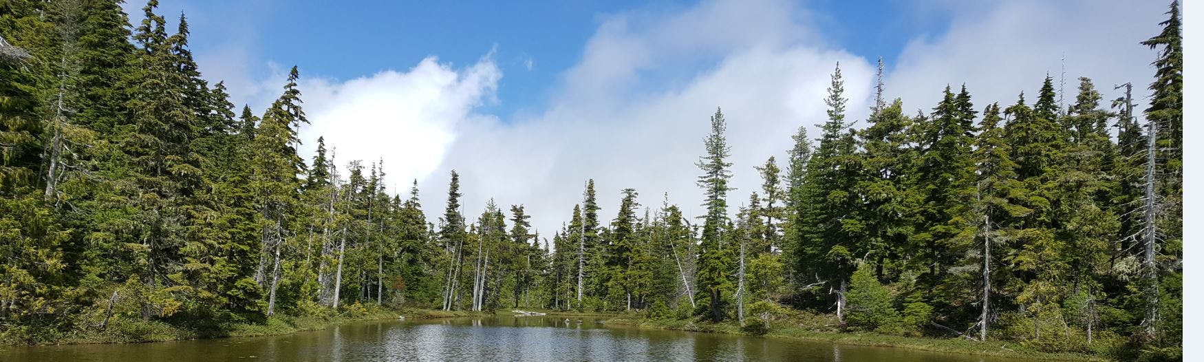
The last year of the RDN and MABRRI’s 5-year agreement has now wrapped up. Over the last 5 years, the RDN and MABRRI have been working to reduce existing data gaps with regards to where wetlands are located, how they are classified, and what role they play in groundwater recharge across the RDN, working to understand the role they play locally.
In 2020, the MABRRI research team built on the work they completed in 2019. The team re-mapped each of the 6 priority sites they identified seasonally (January, April, July, and November 2020) in order to gain a better understanding of how they function throughout the year. With this information in hand, the 2019 Prioritizing Wetland Systems to Install Instrumentation in the RDN report was updated with the findings. In addition to the priority site visits, the priority sites document was updated to include methods and locations of the two new sets of instrumentation that were installed this year, as well as some of the initial findings from the data collected at all three pilot sites. It is hoped that with some further data collection and analysis we can really begin to understand the movement of water through these wetlands and what role they are playing in groundwater recharge. Further, as this was the last year of the research agreement, the MABRRI team has generated a Wetland Mapping & Monitoring in the Regional District of Nanaimo: 5 Year Summary Report, outlining the work completed; findings from the research; means of implementing best practices and policies locally; recommendations and costs pertaining to potential geophysical and cross-sectional analysis work that could be undertaken at local wetlands; and identified some potential next steps for this project, including the monitoring and maintenance of priority sites, specifically those with instrumentation. Finally, all of the data that was collected was uploaded into the RDN’s ArcGIS online map. All reporting and data collected will be publicly released early in 2021.
