Wetland Mapping Researchers and Geophysics Class at Vancouver Island University Use Ground-Penetrating Radar at Spider Lake

Did you know that Spider Lake is directly connected to its underlying aquifer?
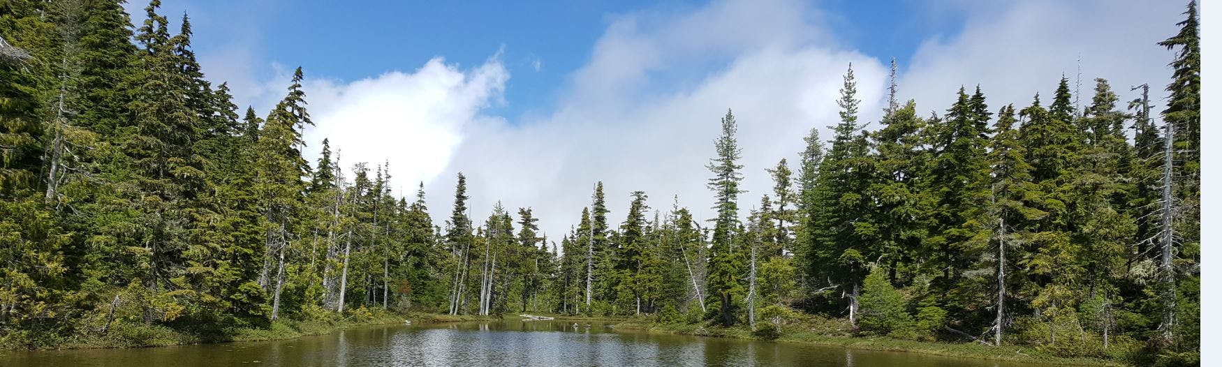
Spider Lakes unique geologic environment was formed during the last glaciation period and is among one of the dynamic areas our research team has visited. On Friday, April 6th, our project lead and students from the VIU Earth Science department ran geophysical survey lines along Spider Lake. This part of the project was supported by VIU's Regional Initiative Fund which provided funding to Earth Science professor, Jerome-Etienne Lesemann, to investigate groundwater flow in partnership with our wetland mapping team.
The purpose of using ground penetrating radar is to map the subsurface architecture in the area, giving researchers an understanding of the distribution of materials that control the connection between surface and groundwater systems. Students spent the day walking over 7 kilometers, gathering imagery of the subsurface. In the weeks to come our project lead and students from VIU will be interpreting the results with the help of Dr. Lesemann. Our team is very excited to see the hidden wonders of the subsurface and to understand how surface water is moving into the underlying perched aquifer.
Stay tuned for the results of our survey!
