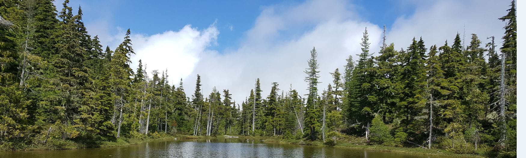
Researchers Complete Mapping and Classifying of 31 Wetlands in the RDN!
To date, student researchers at Vancouver Island University and MABRRI have mapped a total of 31 wetlands across five different water regions. Of these five water regions, three wetland classification and geologic assessment reports were developed for the Little Qualicum, French Creek and South Wellington water regions as per the 2017 deliverables. Have a look at our map, below.

