FAQ
Who is conducting wetland research in the field?
Research is led and conducted by the project lead, Ashley Van Acken, and undergraduate students from Vancouver Island University. Typically, teams of three researchers will conduct wetland surveys under the supervision of the project lead.
When does fieldwork take place?
Student researchers conduct wetland mapping from May to September, annually. Typically, data collection takes place on Tuesday's and Thursday's. During the academic school year, researchers focus on report writing, data analysis and management, and complete all annual deliverables to the RDN.
Who funds the wetland mapping project?
To date, funding for the 2018 year has been received from the Real Estate Foundation of British Columbia and the Regional District of Nanaimo.
Why is wetland mapping important?
The
RDN is home to more than 140,000 residents, of which, four member
municipalities are included: City of Nanaimo, District of Lantzville,
City of Parksville, and
Town of Qualicum
Beach. In 2006, a population and housing study conducted in the region
estimated that the population would increase by 60% between 2006 and 2036. This
projected population growth would significantly increase various land use
activities and enhance stress on groundwater resources.
For
this reason, MABBRI and the RDN have partnered to redirect policy and land use
decisions. It is well understood that wetlands have the ability to mitigate
major flood events, and filter chemicals and nutrients from surface water to
increase localized water quality.
Where can the public view work completed to date?
Wetland Mapping and Geologic Assessment Reports can be viewed under our useful documents section. You will also find wetland summary tables pertaining to each study site there too.
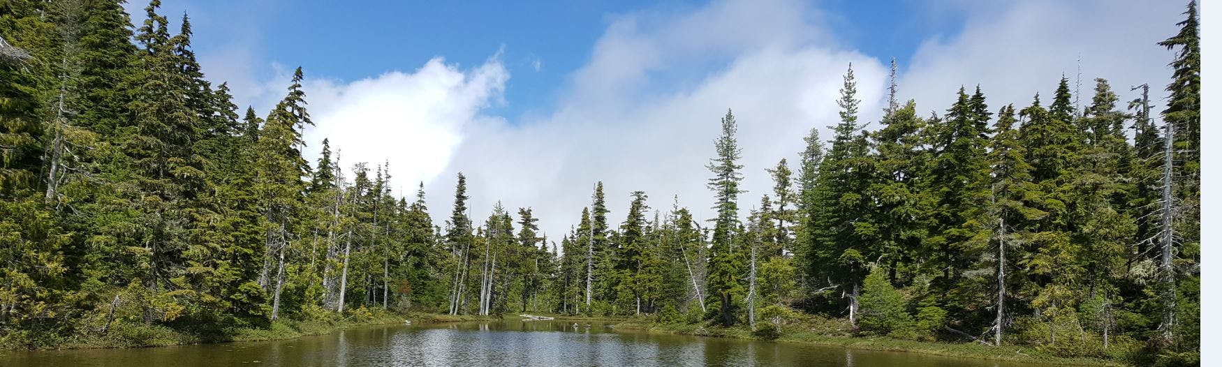
What is a wetland?
A wetland is an area of land that has been saturated with water long enough to increase wetland or aquatic processes that are indicated by poorly drained sits, hydrophytic vegetation (water resilient), and various kinds of biological activity that has adapted to a wet environment. In British Columbia there are many types of wetlands that are distinguished by vegetation, the depth and frequency of flooding and the nutrient qualities of the soils. The most common freshwater wetlands in BC include: Bogs, Fens, Marshes, Swamps, Shallow open water, and Saline meadows.
What is the difference between groundwater and surface water?
Groundwater is the water that is found in rocks and sediments beneath our feet, in aquifers. It is often harnessed to meet the consumptive demands of communities and more than 10 million Canadians rely on groundwater for their drinking water supply. Surface water is the water that we see in rivers, streams, creeks, lakes, wetlands and reservoirs. Although groundwater and surface water are two separate entities, they are often intrinsically connected; therefore in order to manage them both properly, we must understand the relationship between both systems.
Why are wetlands important?
As reported by the Province of BC:
"British Columbia's wetlands currently comprise around 5.28 million hectares (13.047 million acres), or approximately 5% of the land base. These wetlands provide critical habitat for fish, birds and other wildlife.Most wildlife use wetland habitat at some point in their life cycle and many red and blue listed species are wetland dependent.Wetlands are helping minimize or even remediate environmental problems. As part of nature's filtration system wetlands absorb and filter sediments, pollutants, and excess nutrients; recharge groundwater; maintain stream flows; control runoff; store flood waters; reduce erosion; stabilize shorelines; and help regulate atmospheric gases and climate cycles. In short, wetlands absorb water quickly and release it slowly with an improvement in quality. Conservation and management efforts help reduce wetland losses a comprehensive approach is needed to ensure the protection and management of wetlands."
"British Columbia's wetlands currently comprise around 5.28 million hectares (13.047 million acres), or approximately 5% of the land base. These wetlands provide critical habitat for fish, birds and other wildlife.Most wildlife use wetland habitat at some point in their life cycle and many red and blue listed species are wetland dependent.Wetlands are helping minimize or even remediate environmental problems. As part of nature's filtration system wetlands absorb and filter sediments, pollutants, and excess nutrients; recharge groundwater; maintain stream flows; control runoff; store flood waters; reduce erosion; stabilize shorelines; and help regulate atmospheric gases and climate cycles. In short, wetlands absorb water quickly and release it slowly with an improvement in quality. Conservation and management efforts help reduce wetland losses a comprehensive approach is needed to ensure the protection and management of wetlands."