We invite you to stay informed about the progress being made on park and trail improvements in the Rivers Edge neighbourhood.
How to get involved, stay up-to date and provide feedback:
Sign-up with your email address. By registering, you will be kept up-to-date with progress on the Rivers Edge neighbourhood parks and trails projects through email communications.
Check the What's Newtab for updates as the project moves along!
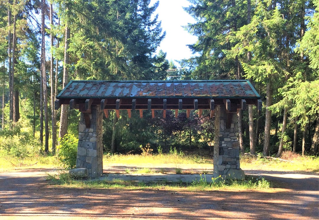
In 2022, Electoral Area G has a provisional budget of $110,000 for park and trail improvements in the Rivers Edge area. We are seeking public input to help determine the community’s priorities for how to improve the parks and trails within the Rivers Edge neighbourhood. We are also looking for broader ideas and suggestions that can help guide future decisions in how to improve the parks system in the Rivers Edge neighbourhood.
All residents in Electoral Area G contribute to the funding of capital projects and parks operations for Community Parks throughout Electoral Area G. For example, this could include construction of a new playground or maintenance of a trail. Electoral Area G encompasses the neighbourhoods of Dashwood, French Creek, San Pareil, and Rivers Edge.
Please share your thoughts about potential improvements to the parks and trails in the Rivers Edge neighbourhood.
Consultation has concluded
Signup Banner
Timeline
Community Input
Rivers Edge Neighbourhood Parks and Trails has finished this stage
Online survey gathered feedback from local residents regarding future improvements to the parks and trails in the Rivers Edge neighbourhood. The results were summarized and are available in the Documents section of this page.
Project Planning
Rivers Edge Neighbourhood Parks and Trails has finished this stage
Based on the results of the questionnaire, a project plan will be developed. RDN Parks Staff will prepare the required design work and move toward construction. Project updates will be posted here.
Detail Design and Construction
Rivers Edge Neighbourhood Parks and Trails has finished this stage
Based on the Community Trail Network Plan, RDN staff will finalize project designs, obtain required approvals from the Ministry of Transportation and Infrastructure, and begin construction on the various trail improvement projects.
Project Complete
Rivers Edge Neighbourhood Parks and Trails is currently at this stage