Slope Hazard Study
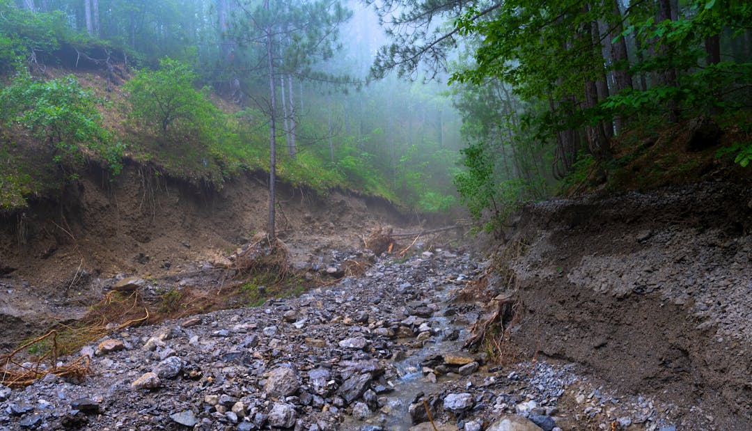
Many communities include natural slopes and ravines that enhance your property’s locale. However, some terrain can be susceptible to landslides if the slope becomes weak and unstable. Over time, the frequency and intensity of extreme weather events is expected to increase with climate change. Increased storms, flooding, and drought cycles can thereby increase the severity of natural hazard events, if unmitigated.
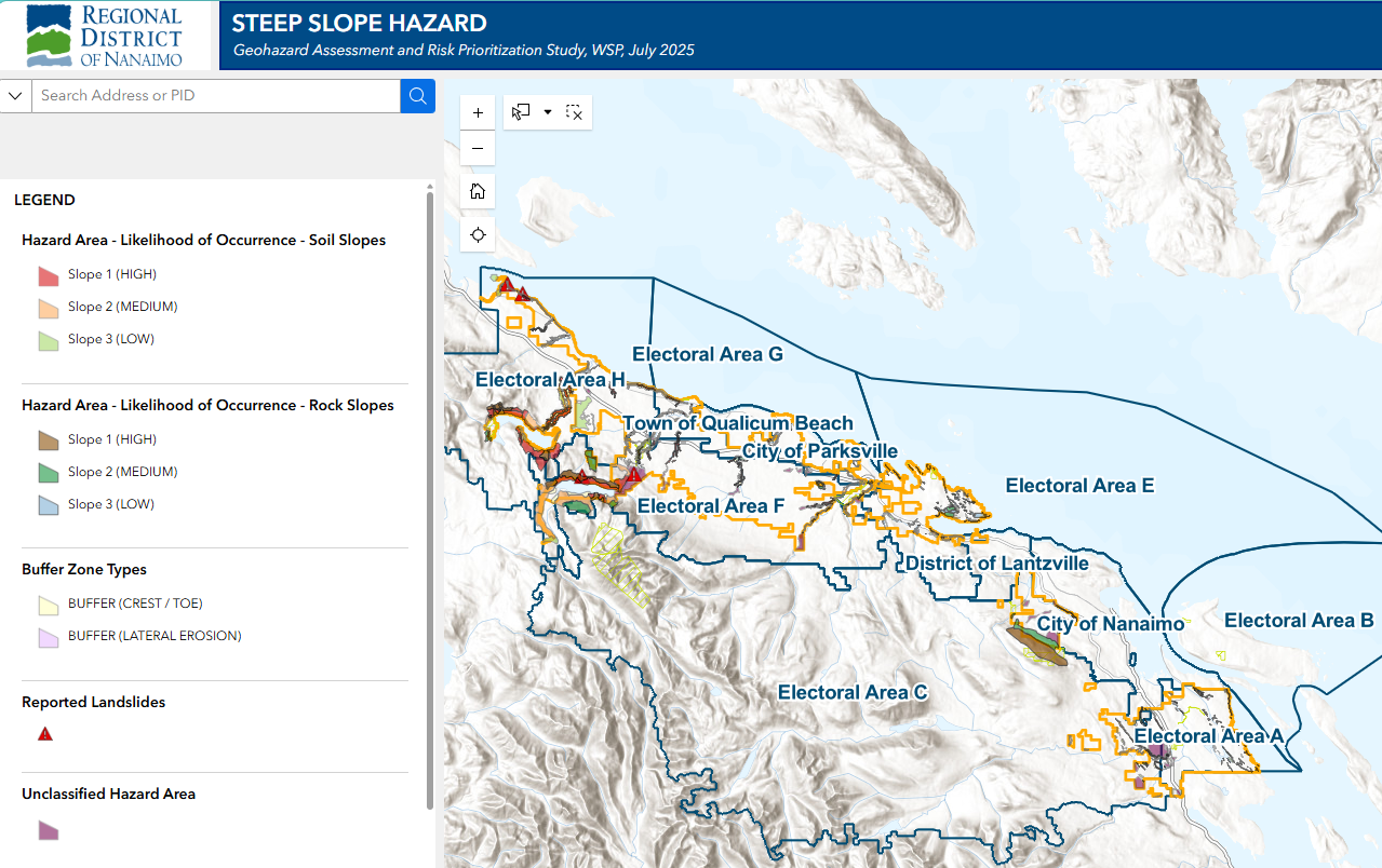
Building from recent efforts to better understand flood hazards, the RDN conducted a Slope Hazard Study to assess the risk priority and likelihood of hazard occurrence in the slope hazard areas identified throughout the seven electoral areas of the RDN.
The outcome of this study includes maps showing the hazard areas, risk priority, and likelihood of hazard occurrence to guide land use planning, design, and decision making. This includes requirements for property-level geotechnical evaluation to ensure the intended use can be carried out safely.
Slope Hazard Study Interactive Map
While the risk of slope failure and landslides is relatively low, homeowners are advised to watch for signs that may compromise a slope’s strength and structure over time. More information on signs under FAQs
To report landslide indicators, contact your local fire, police or public works department or the 24-hour provincial toll-free number at 1-800-663-3456.
How Can I Get Involved & Learn More?
- Subscribe by clicking on the Register tab. By registering you will be kept up-to-date with progress on this project through our electronic communication.
- Visit the Document Library to learn more about related projects and initiatives.
- Visit What's New to see the project updates.
- Ask us a question on the Q & A tab and we will share it and the answer.
- Sign up for the RDN Emergency Alert System (External link) to receive local emergency alerts.
- Connect with our Team. See our contact info under Who’s Listening.
Q&A
Do you have a question for the RDN in regard to this project? If so, please ask us here.
We ask that only questions related to the project are asked here. Information provided here will not be shared with the RDN Board of Directors.
To protect your privacy and the privacy of others, please do not include any information that could identify you or another person. Identifying information could include a person’s name, address, email or phone number. Questions that contain personal information will not be published.