Think Active Transportation - In Electoral Area G French Creek
Consultation has concluded
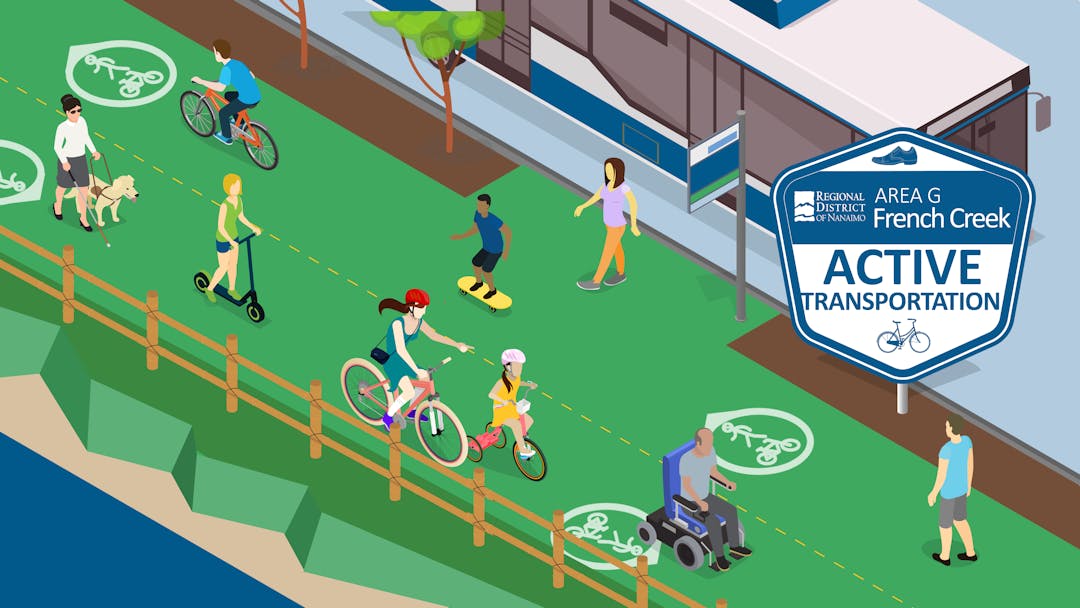
We are working to implement upgrades to infrastructure for active transportation within the French Creek Growth Containment Boundary area of Electoral Area G. The completed project will be incorporated as an amendment to the Electoral Area G Official Community Plan Bylaw 1540, 2008 (OCP).
We have now reviewed the existing active transportation conditions, engaged the community and stakeholders to understand the barriers to using active transportation and discuss options for enhancements, and we have now drafted recommendations and are seeking feedback before finalizing.
Previous Input and New Opportunities to Provide Input
Phase 1 asked you how you get around, how you get to key destinations, what issues you face travelling actively, and what could be done to enable you to travel actively more. The What we heard summary is provided in the documents section. Phase 2 is now underway and we are asking for your feedback on the recommendations. The opportunities are further described below.
Learn more and stay updated:
- Register to receive updates
- View our background documents
Provide feedback using the tabs below:
- Click What's New for updates on the project
- Provide your feedback using the Phase 2 Survey by Friday, March 25, 2022
- Attend the virtual question and answer session on Thursday March 10, 2022 at 6:00 p.m.
- Ask us a Your Question and we will share them and the answers for all to see
Signup Banner

Background Documents
-
 Project Terms of Reference (586 KB) (pdf)
-
Phase 1 - What we heard.pdf (2.28 MB) (pdf)
-
Think AT in French Creek - Phase 2 Engagement Boards (12.6 MB) (pdf)
-
Think AT in French Creek - Draft Report for Phase 2 Engagement (6.61 MB) (pdf)
-
Phase 2 Results.pdf (3.5 MB) (pdf)
-
French Creek Active Transportation Plan (43.5 MB) (pdf)
-
Public Hearing OCP Amendment Notice.pdf (378 KB) (pdf)
-
1540.04.pdf (5.39 MB) (pdf)
-
Public Hearing Correspondance Received.pdf (12.4 MB) (pdf)
-
Adopted Bylaw 1540.04.pdf (5.3 MB) (pdf)

Videos
-
-
Video recording of March 10, 2022
Who's listening
-

Email sboogaards@rdn.bc.ca -
PD
Phone 250-390-6510 Email planning@rdn.bc.ca