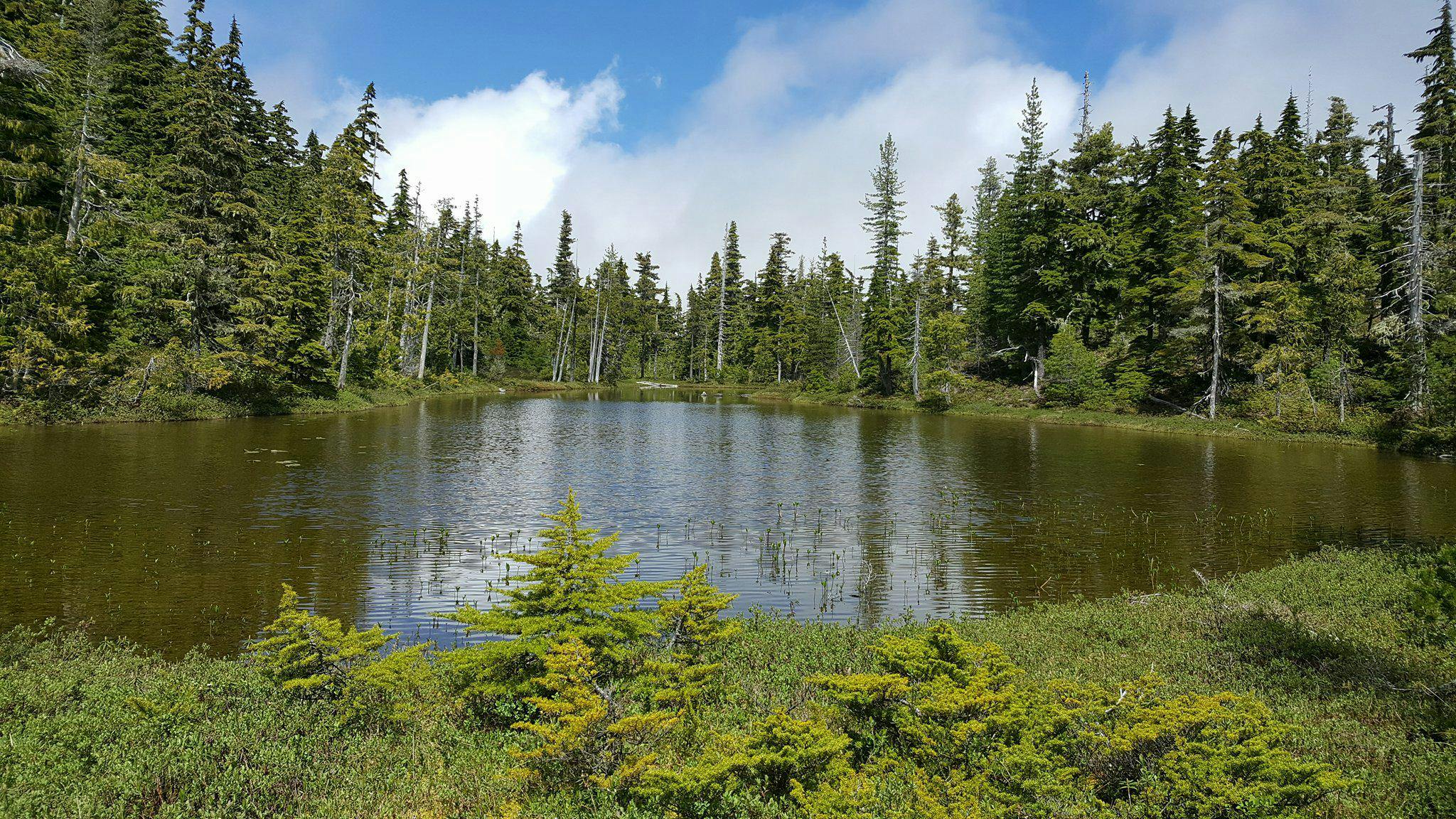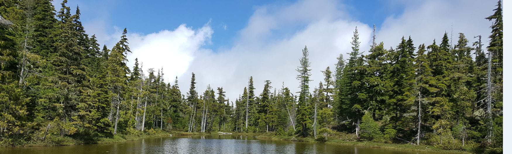
RDN Wetland Mapping
The Wetland Mapping and Monitoring project is a five-year research agreement that was created through a collaborative partnership with the Regional District of Nanaimo's (RDN) Drinking Water and Watershed protection (DWWP) program and Vancouver Island University (VIU). The project started in 2015 and was developed from recognition that there continues to be a lack of baseline data on wetlands in the region. Furthermore, there is limited data regarding where wetlands are situated, how they are classified, and what connection they have to groundwater recharge. This information is important for informing land use decisions in the region. Overall, research aims to inform policy and planning around wetlands in the region in order to better protect these important hydrologic features and ecosystems.
Student researchers follow the modified methods of the BC Wildlife Federation Wetlandkeepers program for mapping and classifying wetlands. Students also collect additional data relating to aquifers, geology, and land use. Students predominantly map wetlands during the summer and early fall field season. The data that students collect when in the field consists of: basic hydrological data (pH, turbidity, temperature), soil data, vegetation surveying, wetland perimeter and dimensions using a GPS, dominant and invasive species observations. Wetlands are further evaluated based on their overall wetland function while also considering influences from surrounding land uses, and visible physical features. Project guidance is provided from other partners, including: VIU faculty members from the Geography and Earth Science departments, and executive members of the Mid Vancouver Island Habitat Enhancement Society (MVIHES).
If you'd like to get involved with this research project or if you have a wetland on your property that you would like to volunteer to be mapped, feel free to pinpoint your wetland on the "Want to Volunteer your Wetland?" interactive map. For more information, we invite you to use the Q&A tab on this page or contact Haley Tomlin at the address listed at the bottom of this web page.
Signup Banner

Document Library
-
 Priority Wetlands Reports
-
 Prioritizing Wetland Systems to Install Instrumentation in the Regional District of Nanaimo (2.81 MB) (pdf)
-
 Prioritizing Wetland Systems to Install Instrumentation in the Regional District of Nanaimo *Updated January 2021 (11.8 MB) (pdf)
-
Prioritizing Vulnerable Wetland Systems in the Regional District of Nanaimo (1.3 MB) (pdf)
-
-
Summary Reports
-
Wetland Classification and Geologic Assessment Reports